NASA’s Fancy Lunar Backpack Helps Explorers Navigate
NASA and industry partners have developed a remote-sensing mapping system to help lunar explorers map terrain around them in real-time. The Lunar Backpack is called Kinematic Navigation and Cartography Knapsack (KNaCK). It’s a mobile lidar scanner that measures distance using light detection and ranging laser light.
The user wears it like a backpack that might be worn to go hiking. Inside the backpack is a type of lidar called frequency modulated continuous wave. It can offer Doppler velocity and range for millions of data points per second.
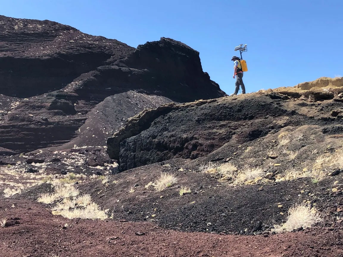
According to researchers on the project, it allows the generation of a real-time navigation system to provide explorers with a high-resolution representation of the surrounding environment. The backpack is a tool to allow for navigation and science mapping.
Project researchers say it can generate ultra-high-resolution 3D maps with precision at the centimeter level. The system is also designed to allow for safety during navigation on the moon where GPS is not available.